Severe Weather Outlook
Issued: 8:49am Saturday 18 Jul 2026
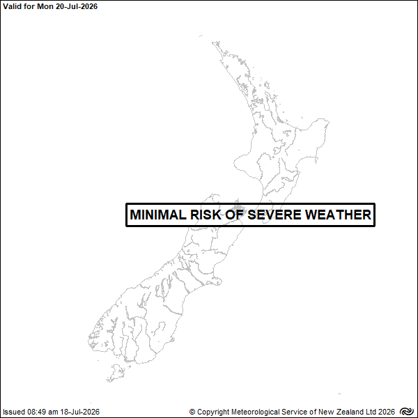
Valid Monday 20-Jul-2026
There is minimal risk of severe weather.
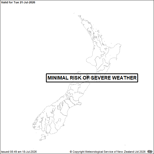
Valid Tuesday 21-Jul-2026
There is minimal risk of severe weather.
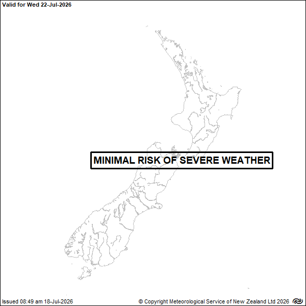
Valid Wednesday 22-Jul-2026
There is minimal risk of severe weather.
Valid Thursday 23-Jul-2026
Associated with the frontal rain-band, there is low confidence for warning amounts of rain in Fiordland and the south of Westland.
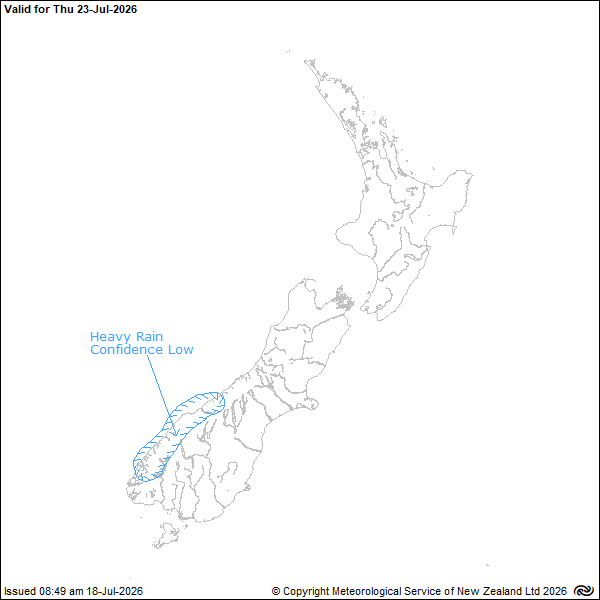
Low confidence:
A 20% likelihood (or 1 chance in 5) of a warning being issued.
Moderate confidence:
A 40% likelihood (or 2 chances in 5) of a warning being issued.
High confidence:
a 60% likelihood (or 3 chances in 5) of a warning being issued.
New issues of this forecast are made available on this site at or before 16:30 NZST
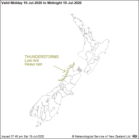
Thunderstorm Outlook
Valid to Midnight Sunday, 19-Jul-2026
Issued: 7:46pm Saturday 18 Jul 2026
Severe Thunderstorm Criteria
In New Zealand, MetService classifies a thunderstorm as severe if one or more of the following criteria are met:
Heavy rain (from thunderstorms):
Rainfall of 25 millimetres per hour, or more.
Large hail:
Hailstones 20 millimetres in diameter, or larger.
Strong wind gusts (from thunderstorms):
Gusts of 110 kilometres per hour / 60 knots or stronger.
Damaging tornadoes:
Fujita F1 (wind speeds greater than 116 kilometres per hour / 63 knots) or stronger.